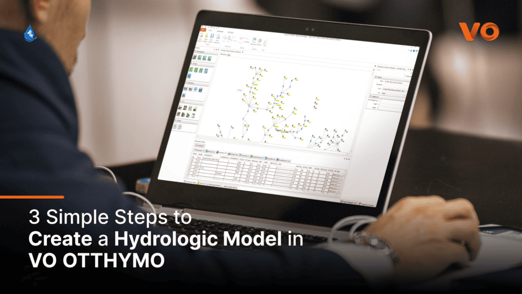
🌊 Hydrology Software Spotlight:
Create a hydrologic model in VO 🌊

What is Hydrologic Modelling?
Hydrologic modelling is creating and running mathematical or computer-based representations of storm drainage systems. Hydrologic models use equations to predict how excess water accumulates and moves under different weather and surface conditions.
Models are necessary for understanding and managing the resulting flows along open (e.g. swales, ditches, rivers) and closed channels (e.g. culverts and sewers) and assessing environmental impacts. In terms of water resources engineering design, the impacts are well managed when the flows are kept within the designed and predicted capacity of the system without creating harm or damage.
Modelling Applications in Rural and Urban Areas
Rural Runoff Modelling
Rural stormwater runoff modelling refers to natural and agricultural land cover types. Rural hydrologic and hydraulic modelling can be useful to assess seasonal water availability, erosion, and sediment transport, and evaluate the impacts of land management practices like deforestation and agriculture. When analyzing the impacts of land development, engineers typically analyze pre-development conditions to set targets and to evaluate the effectiveness of engineered controls under post-development ‘urban’ conditions.
Urban Runoff Modelling
Urban runoff modelling evaluates changes in surface imperviousness, slopes, storage and routing along the drainage system. The analysis typically quantifies the potential for flooding under different design storms characterized by rainfall patterns, volumes, intensities, and durations. The design of urban drainage systems includes channels and stormwater management practices such as detention facilities and green (or Low-Impact-Development) infrastructure.
Create a Model in 3 Simple Steps
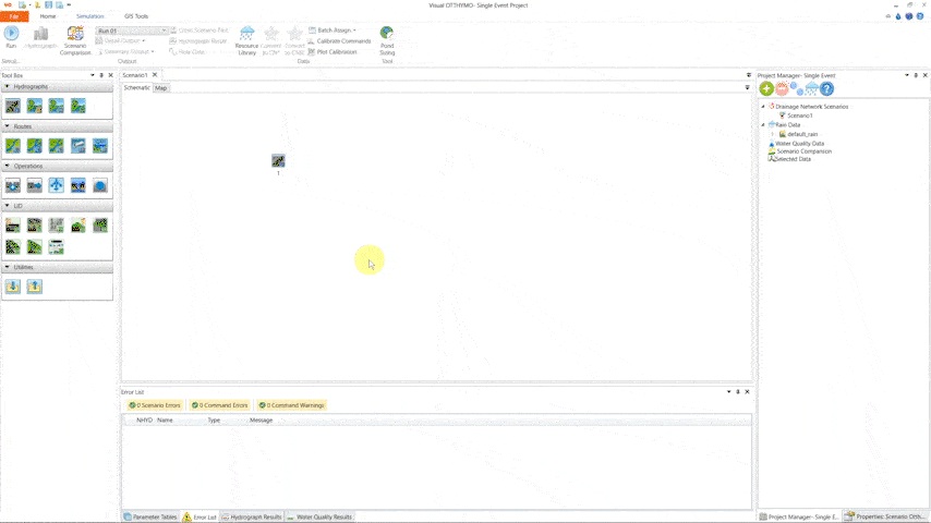
Step 1:
Define the physical drainage system by selecting and then dragging and dropping ‘commands’ from the Tool Box panel.
VO commands represent the physical system and include areas, channels, flow confluences, flow dividers, reservoirs, and LIDs.
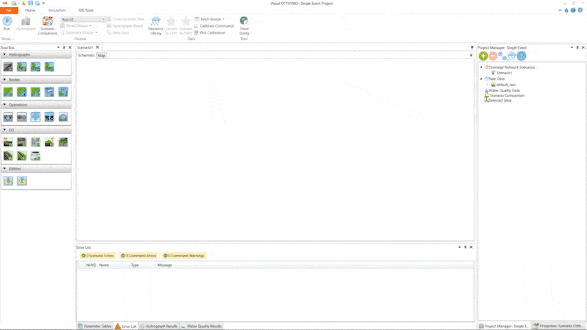
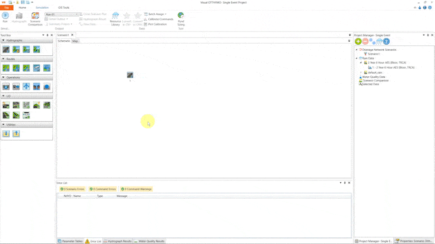
Step 2:
Create a scenario by combining the drainage system with a precipitation input data set.
Define precipitation/rainfall data in the “Resource Library” using options such as Intensity-Duration-Frequency (IDF) curves, single synthetic or real ‘design’ storms, and time series of spatially-distributed climate data, also known as ‘hyetographs’.
Step 3:
Run the model scenario after combining the drainage network (scenario) with the chosen climate data. Create simulation runs for single-event or continuous simulations.
Conclusion
Hydrologic modelling with VO OTTHYMO is designed to be remarkably straightforward as you follow these simple steps. Whether analyzing rural or urban areas, VO enables you to define your drainage system, craft precise scenarios, and run simulations seamlessly.
With VO’s intuitive interface and user-friendly approach, you can confidently navigate the intricacies of your hydrologic modelling projects, ensuring informed decisions that will positively impact our environment
🌊 Experience the simplicity and power of VO as you create accurate models. 💡
To request a VO OTTHYMO license, click HERE