🌊 Hydrograph Routing Capabilities with VO🌊

Term Definitions
Routing: This is the technique used to predict the movement of water over time (also known as flow hydrograph) as it travels through natural or man-made channels and reservoirs. Hydrologic and hydraulic routing are terms referring to the calculation method used for routing. The main difference is the equations used, specifically the level of detail they require.
Hydrologic routing uses an algebraic solution to the continuity equation and a relationship between changes in storage and outflow. Hydraulic routing is based on the solution of partial differential equations of unsteady open-channel flow, known as the Saint-Venant equations, and the associated dynamic wave equations. Hydraulic routing accounts for conditions at the boundaries (upstream and downstream) and the energy losses within the hydraulic element being routed using partial differential equations.
Hydrologic routing uses an algebraic solution to the continuity equation and a relationship between changes in storage and outflow. Hydraulic routing is based on the solution of partial differential equations of unsteady open-channel flow, known as the Saint-Venant equations, and the associated dynamic wave equations. Hydraulic routing accounts for conditions at the boundaries (upstream and downstream) and the energy losses within the hydraulic element being routed using partial differential equations. Because of the simplicity and appropriateness for most applications, VO OTTHYMO uses only hydrologic routing. VO SWMM can handle more complicated hydraulic conditions and uses primarily hydraulic routing methods.
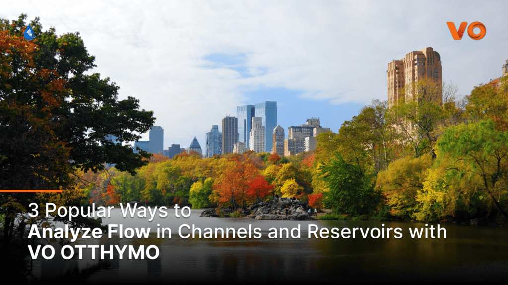
3 Ways to Analyze Flow in Channels and Reservoirs
We explore three commands in VO OTTHYMO and their associated methods for enabling users to analyze flow hydrographs in different environments and conditions.
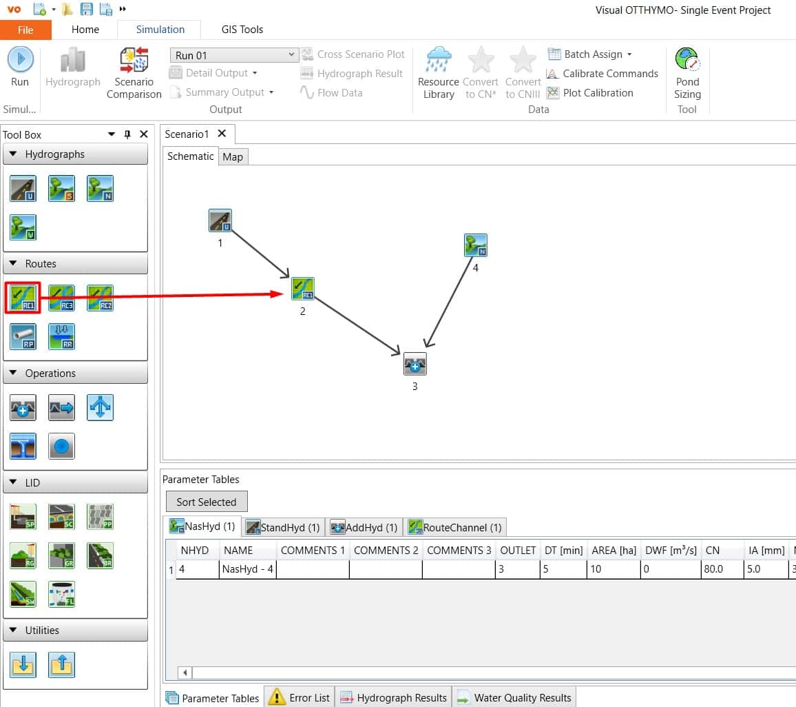
1. Route Channel:
The Route Channel command in VO OTTHYMO employs the Variable Storage Coefficient (VSC) Method to route hydrographs through a free-flowing channel, also known as an open channel, without downstream backwater effects. The command requires geometric data to characterize the channel storage and velocity of the water along the channel.
The compound channel option in VO OTTHYMO recognizes the differences in storage, travel length and roughness characteristics between the main channel in a river and the adjacent flood plain. When a river floods, it first uses the capacity of the main channel prior to allowing flows along the adjacent flood plain, both of which have very different characteristics. VO OTTHYMO also divides the main channel from the floodplain to account for differences in flow length and storage between the meandering channel and the floodplain. Under flooding conditions, the routing effects for each are combined to produce a final output.
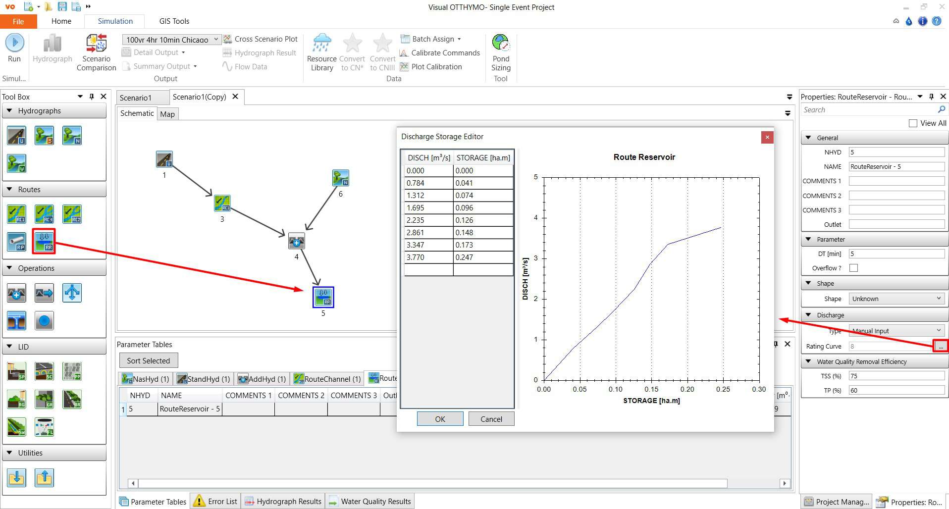
2. Route Reservoir:
This command in enables the routing of hydrographs through reservoirs using the Storage-Indication method (also known as Level-Pool Routing). Geometric input of the reservoir shape is not necessary. A storage-discharge relationship is used to define the changes in storage and flow as the reservoir fills and empties. The ROUTE RESERVOIR command also allows for overflows through a separate outlet, activated when the storage-discharge curve is exceeded.
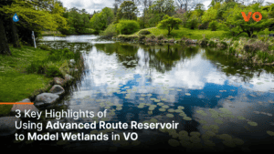
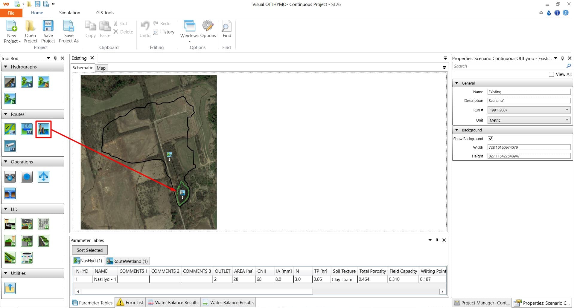
3. Advanced Route Reservoir:
For continuous modelling of reservoirs and wetlands, VO offers a more advanced option to account for various hydrologic processes in natural and engineered storage facilities. This command has various options for surface area, vegetation, soil and groundwater conditions.
Conclusion
VO OTTHYMO provides three methods for flow analysis in channels and reservoirs.
1. Route Channel Command: Using the VSC Method, it routes hydrographs through free-flowing channels, considering channel storage and velocity characteristics.
2. Route Reservoir Command: Simplifies reservoir hydrograph routing using the Storage-Indication method, eliminating the need for detailed geometric input and allowing for overflows through a separate outlet.
3. Advanced Route Reservoir Command: For continuous modelling of reservoirs and wetlands with various parameters for surface area, vegetation, soil, and groundwater conditions.
With these powerful routing capabilities in VO, modellers can gain precise insights into water movement in diverse scenarios, enhancing their ability to make informed decisions.
🌊Experience the simplicity and power of VO as you create accurate models.💡
To request a VO OOTHYMO license, click HERE