🌿 The Power of Route Wetland in VO 🌿

Term Definitions
Wetland Modelling: Hydrologic modelling of wetlands accounts for dynamics changes in wetland storage considering factors such as inflows from channels and streams, direct precipitation, groundwater exfiltration; and outflow to downstream channels and streams, evapotranspiration, evaporation, and groundwater infiltration..
Background Knowledge
Wetlands are critical ecosystems that play a vital role in maintaining biodiversity, water quality, and flood mitigation. Proper modeling of wetlands is important for understanding their storage dynamics with changing weather and land uses and related seasonal changes in depths of ponding and moisture availability for use by adjacent flora and fauna. VO’s ADVANCED ROUTE RESERVOIR is a tool designed to analyze existing and future conditions upstream and within the wetland environments.
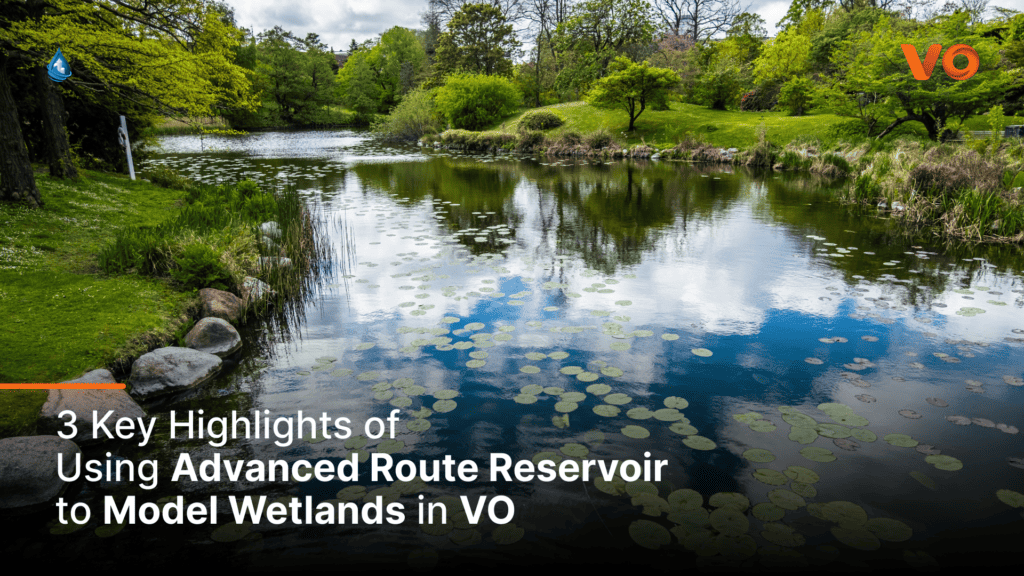
3 Key Highlights of Using Route Wetland
1. Evaporation, Infiltration, and Evapotranspiration:
In addition to direct inflows and outflows from upstream and downstream connected streams and from direct precipitation, the advanced routing command in VO enables the simulation of natural wetlands by considering key processes such as losses from evaporation, infiltration, and evapotranspiration from vegetated areas. These processes govern the water balance and dynamics within wetlands, capturing the complex interplay between weather, water, soils and vegetation. through this tool,, engineers and professionals can gain important insights into the hydrologic impacts on the hydroperiod in wetlands due to post-development changes to the hydrologic cycle upstream.
2. Dynamic Wet-Areas:
VO’s advanced route reservoir command quantifies the dynamic changes in the pool area within and surrounding vegetated areas. This can help characterize the fluctuating flooding and drying within wetlands. As wet-weather events fill the main storage area, the wet portion of the wetland expands while the dry area diminishes.
3. Groundwater Interaction and Scenarios:
The command also includes groundwater effects allowing for rising and lowering of the water table below the reservoir, It calculates groundwater infiltration out of the main surface storage into the ground and water seepage from the ground into the storage. The enables simulation of three distinct scenarios: Maximum Recharge, Reduced Recharge, and Discharge, representing different groundwater levels.
Explore the intricate relationships between evaporation, infiltration, evapotranspiration, and dynamic storage within wetlands. Gain valuable insights for effective wetland management, conservation, and restoration.
🌊 Experience the simplicity and power of VO as you create accurate models.💡
To request a VO OOTHYMO license, click HERE